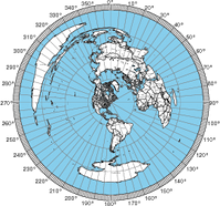
I am planning to gradually make a collection of web tools to process ADIF files. My first foray into ADIF tools is a web service to mark where your contacts are on a map of the globe. Every QSO in the file that has the Maidenhead grid square or the ADIF “lat” and “lon” fields shows up on the map as a red circle.
The map is the popular Winkel-Tripel projection of the earth. I grabbed the picture from Wikipedia, and they got it from NASA.
Follow this link to make a contact map.


hello.
i tried to use the ADIF Tools. i loaded my personal ADIF file. the web did plot the world map but did not plot my QSO on the map.
any idea what did i do wrong?
thank you for helping me.
73
Dan
The ADIF mapper does not have a way to locate your QSOs. It’s counting on your ADIF having either grid squares or lat/long information for stations worked.
73,
Tom NS6T