
I wrote a new azimuthal map generator in JavaScript using D3 and a much more up-to-date and higher quality map database. Like many of my personal ham radio projects, I got it to a certain point and then other projects seemed more interesting. I’ve decided to go ahead and release this to the public rather than waiting to finish all the features or iron out some of the problems.
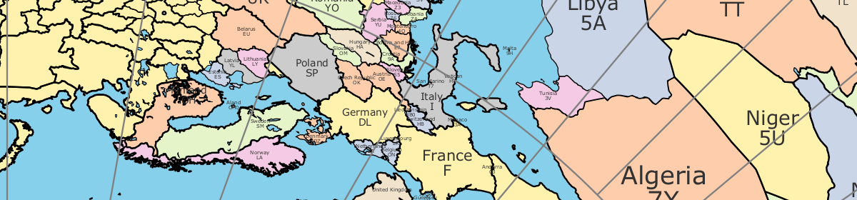
By default, this map shows the current gray line. The parts of the Earth that are currently in the sun (i.e., daytime) appear brighter, and the parts of the Earth that are experiencing night appear darker. You can turn this feature off in the General Settings tab for printing. Unless you turn it off, the website will dynamically update the gray line as time passes. The gray line display can go a little wonky at sunset or sunrise, but it normally clears up in a minute or two. Thanks to Bob N6TV for the suggestion to put the gray line display on the map.
Hi, I’ve just been using your newish colour Great Circle map generator, really really good for me. Using it to generate bmp files to go behind the rotaor controller built into the Wavenode wattmeter software (WN-2V3.80). very happy with it. To simplify my work, it would have been nice to have been able to save/download bmp files of a specific pixel size but that of course can be done with may other apps.
This web based app was so simple to use and saved me a lot of time. Might also be nice to choose the text sizes on the map.