

Thanks to Bostjan – Ian (S55O) for publishing one of my maps on the back cover of CQ ZRS, a magazine for Slovenian amateur radio operators.
Thanks to Bostjan – Ian (S55O) for publishing one of my maps on the back cover of CQ ZRS, a magazine for Slovenian amateur radio operators.
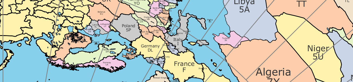
I added a new feature to the azimuthal map program to give people the option to add a latitude/longitude grid and Maidenhead grid square labels. This turned out to require an adventure in the world of cubic spline interpolation, but that’s a story for another time. These new features are turned off by default because the map is already pretty dense with information.