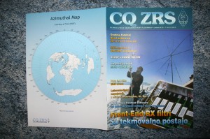
Thanks to Bostjan – Ian (S55O) for publishing one of my maps on the back cover of CQ ZRS, a magazine for Slovenian amateur radio operators.

Thanks to Bostjan – Ian (S55O) for publishing one of my maps on the back cover of CQ ZRS, a magazine for Slovenian amateur radio operators.
I added a new feature to the azimuthal map program to give people the option to add a latitude/longitude grid and Maidenhead grid square labels. This turned out to require an adventure in the world of cubic spline interpolation, but that’s a story for another time. These new features are turned off by default because the map is already pretty dense with information.
In celebration of Boy Scouts of America’s 100th anniversary, Northern California BSA is having a jamboree, and East Bay hams are putting on a jamboree on the air (JOTA) station to give scouts a chance to get on the air. The station call sign is WZ6BSA, and it should be accessible via HF, VHF (including IRLP), and satellite (when visible from CM97bp). You can get more information here. I am going to be the HF control operator 9am-1pm PDT tomorrow.

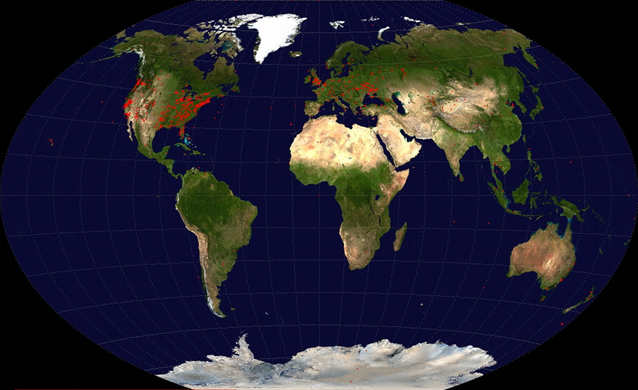
I wrote a script to generate a map showing all the locations for which maps have been generated. There is also a link to show a graph of the number of maps generated per day.
I wrote a WordPress width plugin to display N0NBH’s fabulous banners that display solar-terrestrial data of interest to ham radio enthusiasts. These banners show lots of useful information including predictions of HF/VHF propagation.
Someone on the eham.net rating site said, “It would be nice if you could scale up the map to a ‘C’ or ‘D’ size sheet.” I wasn’t sure what to make of this because the map program support about 48 paper sizes (mostly European ISO paper sizes). Well, Wikipedia to the rescue. I’ve added ANSI paper sizes A, B, C, D, and E. Tabloid is a synonym for ANSI B. If there are other common paper sizes that people would like to use, let me know in a comment here.
I found a website that can convert an IP address into an estimate of the latitude and longitude of the computer. I added a new button to the azimuthal map form that uses a few lines of Javascript to populate the location field. I am hoping this will provide accurate enough estimates for most people’s maps. The location field is the one that troubles people the most.
Tom (K8ERV) pointed out that having radials every 7.5° was not very intuitive, so now the map program generates maps with radials every 5°. This spacing makes more sense because the outer ring has major hash marks every 10° and minor marks every degree.
Due to feedback from John Faughn and Tom (K8ERV), I modified the server to set the Content-Disposition header to specify a filename. This resolved various problems
Just like an email account WordPress blogs are subjected to spam in the form of unrelated and unwanted comments from people trying to get a link to their site. These comments are usually written very generally so they look genuine on every site. I’ve rejected them all because they had nothing related to the subject of the post or this blog in general. I would love to receive comments about this site. However, please make sure that your comments clearly pertain to ham radio or the post/page your commenting on. Your specificity will help me separate your comment from spam.